Our second day started out with a delicious breakfast of french toast, tons of fruit, toast, juice and coffee. The breakfast set up at our B&B was fantastic. Our B&B also had three cats..which I loved of course. I forced them to be my friends :).

Breakfast Bar of fruit and cereal..just the beginning!

Our cute little table set up for breakfast.

Juice, coffee, fruit, toast, french toast. So good!

Pretty flowers on our table.

Josh having his picture taken against his will.

My buddy at breakfast. One of the cats! 🙂
After breakfast we headed to Hawaii Volcanoes National Park for the first of many trips. It was about an hour away from our B&B and yes it rained almost the entire drive to the park. We arrived and started with the steam vents. These were incredible…especially since they were super warm and it was cold and raining. I would have stood there all day if Josh would have let me. The steam vents are created when rain seeps into the ground and is then heated by the Kilauea volcano, thus creating steam coming out of the earth. It pretty incredible to see. This was a positive to the massive amount of rain they were receiving. More rain = more steam.

Information about the steam vents.

Steam Vent in the sidewalk that they had cut out.

The numerous steam vents. Too many to count.

Josh warming up with the steam.

A small steam vent. The colors were so interesting.

A picture of the steam coming right at us. Foggy.

A larger steam vent. Again love the colors of the earth.
From here we went to visit the sulphur banks…along the path were some of the steam vents, which did not smell, but the closer we got to the sulphur banks the stronger the unpleasant smell. Sulphur banks are created when hydrogen sulphide gas and steam form deposits of sulphur, gypsum and hematite on the ground. It was pretty, but not the best smelling thing. A highlight of our walk is that we passed a guy with a Purdue hat. Boiler up!

Me at the start of the trail to the sulphur banks.

Sulphur Banks
After the sulphur banks we headed to the Kilauea Overlook to get a good view of Kilauea Crater and the Halema`uma`u Crater. Halema`uma`u is said to be the home of Madame Pele, the Hawaiian volcano goddess.

The edge of Kilauea Crater.

Halema`uma`u Crater

The bottom of Kilauea Crater.

Halema`uma`u Crater and the steam rising from it.

A closer view of Halema`uma`u Crater.
After viewing the crater at a few locations, the road was closed so we had to turn around and head back the other way. There is a road (Crater Rim Dr.) that goes around the entire crater. It changes on what and when parts of it are closed, depending on the volcanic activity. We definitely learned that information you read in a book or looked up online literally changed on a daily basis. It was very hard to find information on certain hikes, etc. because of the always changing landscape. It definitely made it more of an adventure!
Our next stop was Thurston Lava Tube. Unfortunately only the lighted portion was open to the public. There is a darker section that is usually open, but has been closed due to recent volcanic activity causing rocks to fall in the tube. We were ready to explore the darker side, but the lit area was still very cool to see.

The entrance to Thurston Lava Tube from the inside of the tube.

Inside Thurston Lava Tube.

Leaving the Thurston Lava Tube. It was super short.

The outside of the Thurston Lava Tube.

Josh in the pretty wild life posing for a picture.

I thought this looked like an elephant.
Next, we headed down Chain of Craters road for a bit to Mauna Ulu, the source of the second longest eruption (1969 – 1974). Along the way we stopped at Lua Manu Crater which is 109 yards in diameter and last had lava flow into it during the 1974 eruption. After Lua Manu we stopped at Puhimau Crater, which still has magma activity flowing beneath it.

Lua Manu Crater

Lua Manu Crater

Josh taking a picture of Puhimau Crater.

Puhimau Crater

Puhimau Crater

Puhimau Crater

Puhimau Crater
After these two stops we made it to Mauna Ulu for a short hike up to Pu`u Huluhulu. The hike consisted of different markers pointing out types of lava, trees, regrowth, devastation, etc. It was an interesting hike with some cool views. It was also neat to walk across so many different types of lava that had hardened.

The beginning of the Pu’u Huluhulu hike.

Lava Field

Lava Field

1974 Lava Flow

1974 Lava Flow

Lava. Love the way it forms. Pretty cool to look at.

The beginning of the path in the lava field. Not the easiest trail to follow.

Lava

Lava. Love this picture.

Clearly we had been rained on in this picture.

An area where lava had broken off and formed a small inlet/cave.

Josh walked through the lava field.

Lava Field

Mauna Ulu

Cool dial at the top that pointed in the directions of all the different craters/lava flows.

View of the forest in one direction.

Another view from the top.

Yet another view from the top.

I don’t remember which crater this was :).

Mauna Ulu again

Forest down below.

Lehua Blossom. The start of an ‘Ohi’a tree.

Huge area where lava broke off. Careful walking!
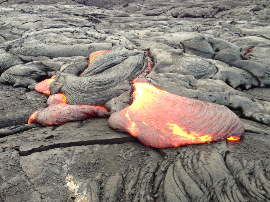
After finishing our hike, we headed out of the park back towards our B&B. The current lava flow is sometimes visible at the end of Highway 130. So at the recommendation from our B&B owner, we headed over there around 5:00 p.m. to see what was going on. We got there and were told that the only things visible at this time were steam from the lava hitting the ocean and steam rising from up on the hill where the lava flow was. The lava had reached a point in this flow where it was mostly flowing in lava tubes to the ocean. Which made for great ocean viewing. Luckily, we had scheduled a boat tour for Monday morning to see this in action! This most recent lava flow had completely wiped out the historic fishing town of Kalapana. A few people have rebuilt their homes on top of the lava (picture below). It was very interesting to see. The road to the viewing point is public property, but the lava field on either side of it is private property and you are not allowed to walk on it. There is a guard at the end of the path who gave us the tip to head back to the park to view Kilauea Caldera at night as they would have the best “show” for the evening. The absolute BEST thing about this walk out to the viewing area was that there was a giant double rainbow over the lava field. It is the must stunning rainbow I have seen to this date since my time living in Hawaii. Of course, shortly after viewing this it started to pour rain again. However, getting soaked again was worth seeing something so incredible.

Houses rebuilt on the lava field

New lava from the last couple years.

More of the newer lava.

Beautiful rainbow over the lava field and houses.

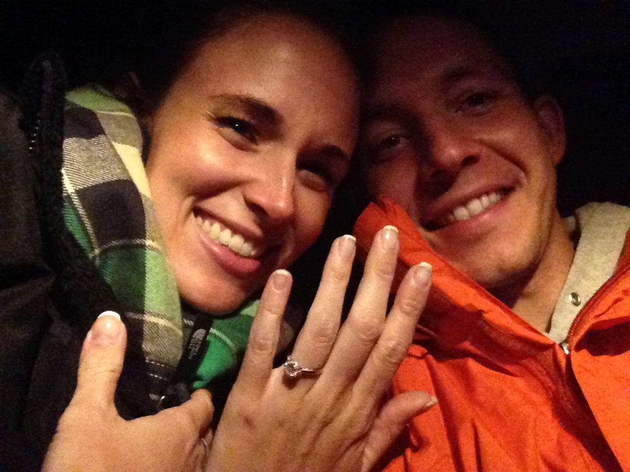
Josh and I with the rainbow.
After stopping at the viewing point we headed to the end of Highway 137, only about five minutes away. At the end of this highway is a little cafe and the start of the new Kaimu Black Sand Beach. What was previously Kaimu beach was a beautiful black sand beach with many gorgeous palm trees lining the shore. It was eventually, completely covered in 1990 by the Kilauea eruption. Today, new palm trees have been planted on this brand new shoreline land in an effort to restore Kaimu beach.

The rainbow on the way to Kaimu Beach. Incredible.

The new palm trees planted in an effort to restore Kaimu beach.

More palm trees. There were rows and rows of them!

Kaimu beach. It was beautiful!

More of Kaimu beach. You can see how small it is, signifying how new it is.

The black sand. It really was something else!

Kaimu beach shoreline.

The rocks here were still pretty intense.

Josh and I at Kaimu beach.
Next, we headed back to Hawaii Volcanoes National Park to check out Halema`uma`u Crater at night. We had no idea what to expect…well we expected it to be raining…but we didn’t know what to expect besides that. It looked like a fireball had lit up the sky. We drove in and could see the clouds above the crater illuminated well before we got close to it. The clouds were a light orange from afar. We got to the Volcano Observatory and couldn’t believe what we saw. I would try to describe it, but the pictures will do a MUCH better job of it!

Halema`uma`u Crater at night.
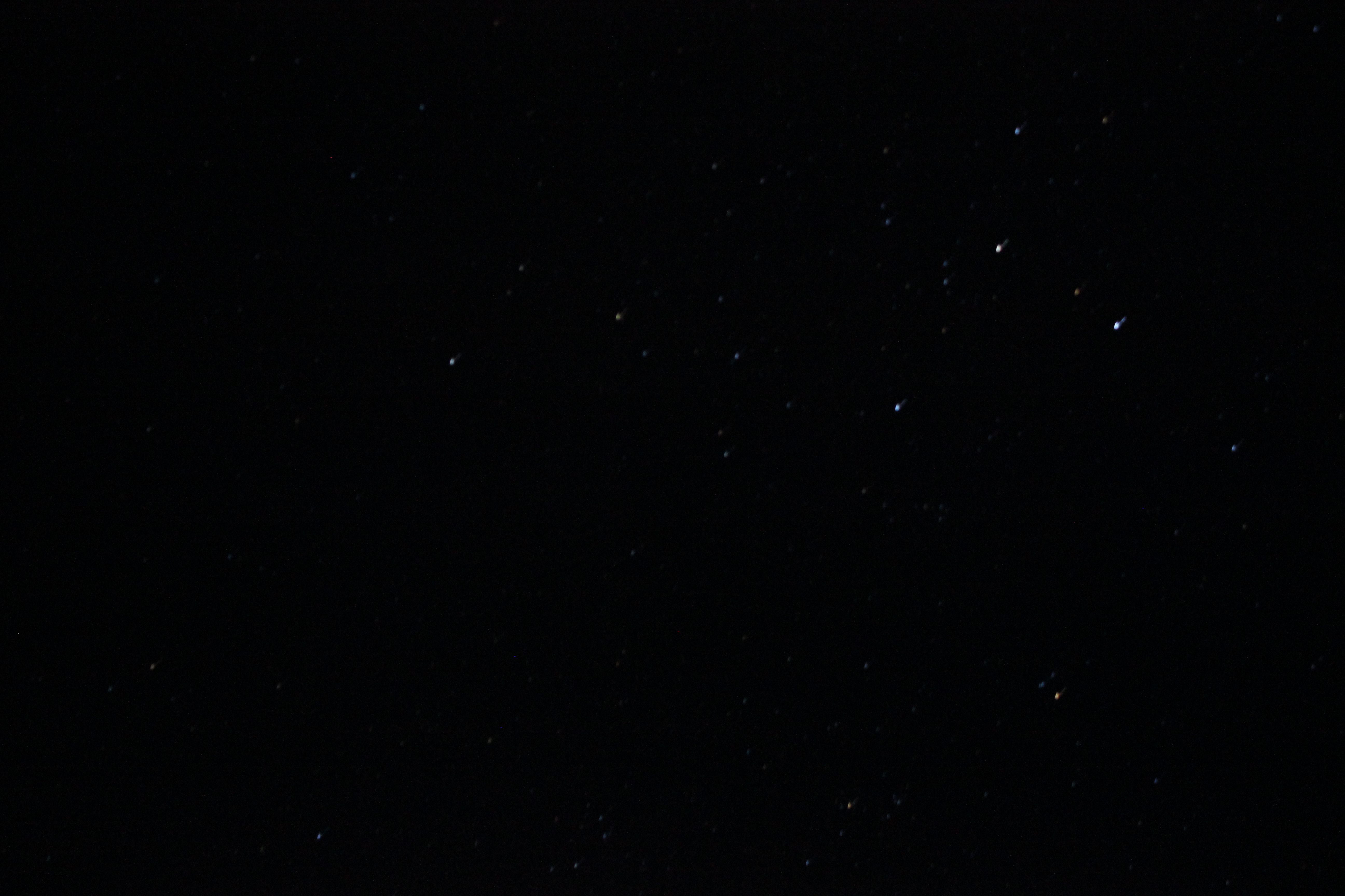
After many pictures, rain drops and getting very cold, we got back in the car and decided to drive Chain of Craters Road all the way to see if we could see anything. The road was pitch black and it was raining, so it made it interesting for Josh to drive. We saw two things on this trip down the road: 1. We saw a red glow in the distance of the current vent and 2. Stars were super bright out here because it was so dark. The pictures does not do them justice!

We finally headed back to the B&B after a ridiculous amount of driving for the day!